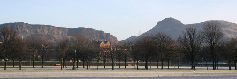
The field trip will focus on visits to sites of historical interest that were involved in the work of James Hutton, who is widely regarded as the founder of modern geology. Hutton was deeply involved in the intellectual ferment that took place in Scotland in the mid and late eighteenth century, which is now known as the Scottish Enlightenment, a period that saw major advances of great significance in the arts, commerce, industry and science.

© Clifford.E.Ford 2004
Although Hutton originally studied medicine, his major interests were in the realms of geology and agriculture and it was during his time as a practising farmer that he developed his “Theory of the Earth”, which basically anticipated what today is known as the “geological cycle”, where geological processes involving weathering, erosion, sedimentation, lithification by heat and pressure and finally uplift were envisaged as occurring in a recurring and cyclical manner. At some stage, such a cycle would evidently result in the formation of tilted strata, following uplift and earth movement, overlain by horizontal or gently dipping strata, following renewed weathering, erosion and sedimentation. Hutton spent some time searching for such “unconformities”, and succeeded in finding several convincing examples, the most famous of which is to be seen at Siccar Point, where gently dipping Upper Old Red Sandstones directly overlie near vertical Silurian greywackes. The implication of such an occurrence was that immense periods of time would be required to bring about such unconformities, certainly very much longer than the six thousand years proposed by interpretations of Scripture.
With the advantage of modern geochronology, we now know that the time gap between the Silurian and Upper Devonian sediments exposed at Siccar Point is about 55 million years, amply justifying Hutton’s famous poetic phrase that the processes of the geological cycle show “no vestige of a beginning-no prospect of an end”.
The excursion will visit the following sites.
- Pease Bay. Undoubtedly Hutton would have been very familiar with this spectacular exposure of fluvial and aeolian bright red sandstones and marls of Upper Old Red Sandstone (Devonian) age. Irregular masses of concretionary cornstone, as well as developments of caliche, are found in the upper part of the formation, which passes upwards into sediments of Carboniferous age. The finding of fossil fish (Bothriolepis) confirms the Devonian age of these sedimentary rocks. The clay mineralogy of the Upper Old Red Sandstone is often dominated by well-crystallized kaolinite and lath-like illite, both of authigenic origin.
- Siccar Point. Here we find sub-horizontal Upper Old Red Sandstone conglomerates overlying nearly vertical Silurian greywackes. The clay mineralogy of these greywackes is dominated by illite and chlorite, almost certainly of diagenetic or low grade metamorphic origin. This unconformity was discovered by Hutton during a sailing trip along the Berwickshire coast, accompanied by John Playfair and Sir James Hall, both of whom occupy honoured places in the history of geology, the former as graphic communicator of Hutton’s ideas and the latter as a pioneer in experimental petrology. Access to Siccar Point is via a steep and somewhat dangerous path but good views of the unconformity can be obtained from the cliff top.
- Slighhouses Farm. Hutton farmed the land at Slighhouses from 1754 to 1767 where he made innovations in ploughing, crop rotation and other aspects of agricultural science, work for which he received an honour in France. The soils at Slighhouses are supposedly developed on Old Red Sandstone with contributions from “whinstone”, an igneous rock probably of doleritic composition. A soil profile pit will be opened for inspection by excursion participants and the clay mineralogy, as well as the nature and origin of the soil will be discussed. Samples analysed thus far indicate that a dioctahedral vermiculitic mineral is forming towards the top of the profile, which is feature that is found in many Scottish soils. Present day land use of the farm and the variety of soils found will be described. Participants will also have the opportunity to see the marl pit created by Hutton which was used to ameliorate the soils he farmed.
- Eyemouth. The volcanic rocks around Eyemouth, a fishing town of historical interest, represent the remnants of late Caledonian extrusive igneous rocks. The rocks are difficult to classify but were probably originally of a basaltic or andesitic composition associated with the closure of the Iapetus Ocean and suggesting magma generation in the region of the suture. Their clay mineralogy suggests that they contain a dioctahedral mixed-layer clay of a tosudite composition.
 This site is no longer being updated.
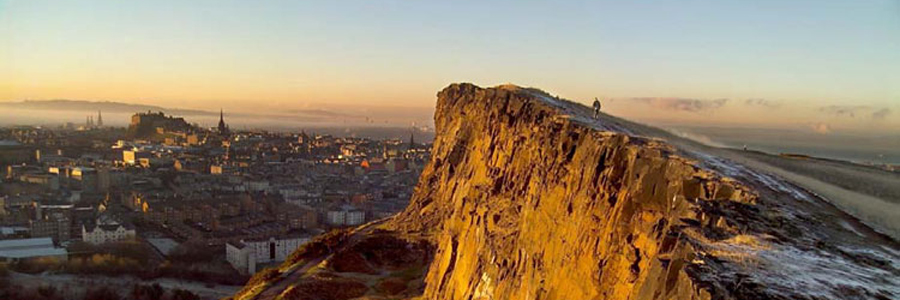


 This site is hosted by The James Hutton Institute